At GTEC, you can engage us through the following services listed below and more!
Cartography and mapping
We provide expertise and solutions on visualization of your projects from a real world to graphical medium. With this transformation, you enable you to better understand the location of your project and the relationships other aspects as you may require.
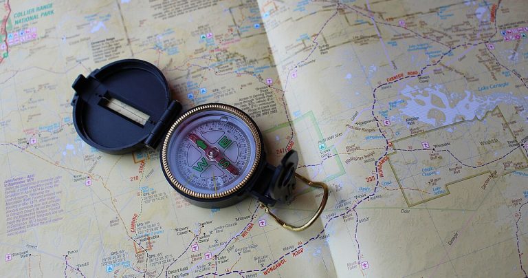
GPS mapping
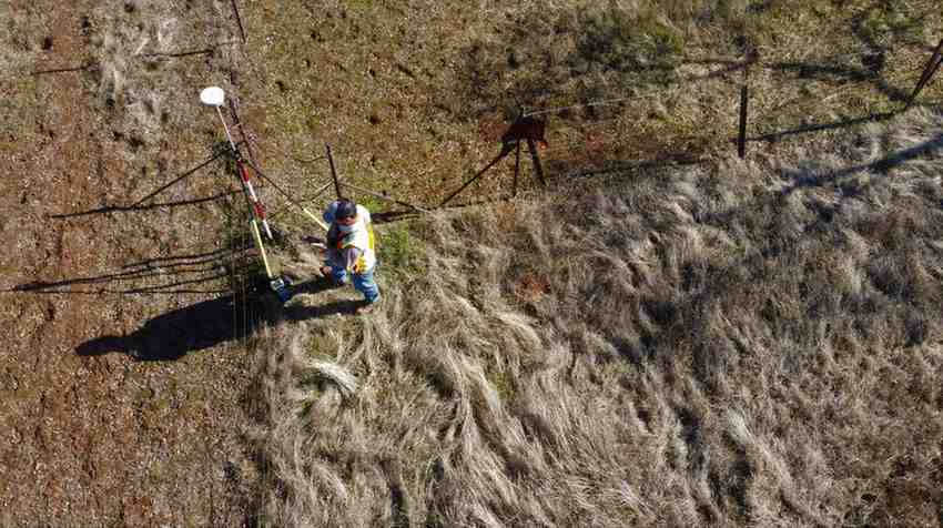
GPS mapping uses satellite technology to determine the precise location of objects or people on Earth. GPS data is then processed and displayed on maps, enabling users to navigate accurately. We use this technology to descend to your project location, collect precise coordinates of discrete (e.g. a house, well, etc), linear (roads, rivers, etc) or polygon (farmland, land use, quarter, etc) features of the project develop a table/database from where analysis could be made for further information requirements. Depending on your project, a handheld GPS or a differential GPS could be applied.
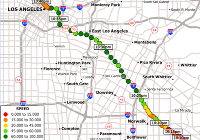
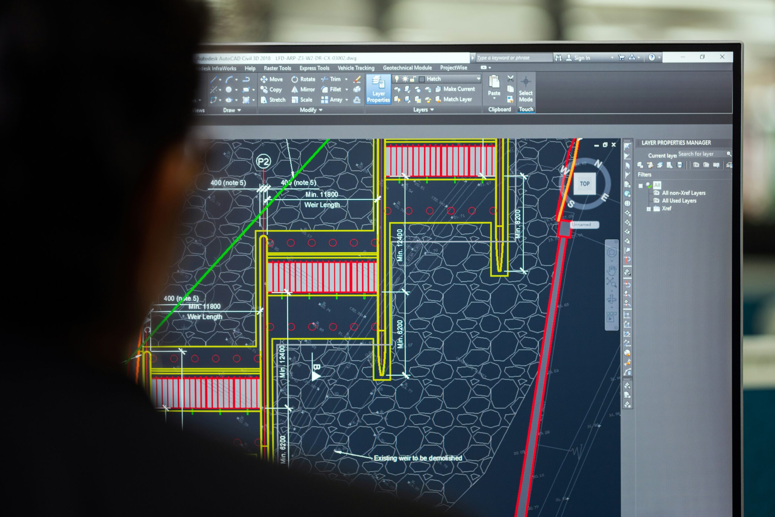
GIS data analysis and visualization
GIS data analysis and visualization revolutionize our understanding of spatial information. Through GIS, we collect data, analyse, and visualize them in maps to reveal patterns, trends, and relationships. This powerful tool supports decision-making across various fields, including urban planning, environmental management, and disaster response. We transform raw data with GIS into interactive and intuitive visual maps. This allows for better communication of complex spatial data. Ultimately, it enables more effective and informed decisions, fostering better outcomes for communities and environments.
Remote sensing mapping and analysis
Remote sensing mapping and analysis harness satellite or airborne sensor data to monitor and understand the Earth's surface. This technology enables the collection of crucial information on land cover, vegetation health, climate change, and natural disasters. By processing and analysing the captured data, scientists can create accurate maps and models to visualize and interpret spatial phenomena.
Remote sensing offers a unique perspective, providing insights that are often unattainable through traditional ground-based methods. Its applications span across various fields, including agriculture, forestry, urban planning, and environmental management, enhancing our ability to address global challenges. Here in GTEC, we use satellite images such as Landsat, IKONOS, quickbird, sentinel, etc and as well drone(service) data for your project as needed by your project.
Agriculture and facility monitoring
Drones play a transformative role in agriculture, land use, and facility monitoring and more, providing comprehensive and real-time insights. In agriculture, drones equipped with advanced sensors and cameras can assess crop health, monitor irrigation, and detect pest infestations, allowing for precise and efficient farm management. For land use, drones offer detailed aerial surveys that facilitate land planning, conservation efforts, and environmental impact assessments.
In facility monitoring, drones ensure regular inspections of large or hard-to-reach structures, such as pipelines, towers, and rooftops, enhancing safety and operational efficiency. Overall, drones empower stakeholders and clients with accurate data, enabling informed decision-making and optimized resource management. You can rely on us to provide this service and more for your satisfaction.
Web-based Geographic Information Systems (WebGIS)
Web-based Geographic Information Systems (WebGIS) revolutionizes project management by providing accessible, interactive, and real-time spatial data analysis. In urban planning, it allows stakeholders to visualize development scenarios and assess their impact on the environment.
For environmental monitoring projects, WebGIS enables the tracking of changes in land use, vegetation, and water bodies over time. In disaster management, it facilitates efficient coordination by providing up-to-date maps and data for response teams. Ultimately, WebGIS enhances collaboration, decision-making, and transparency in various projects by making geographic information readily available to all stakeholders/clients.