We offer GIS and GPS training services to empower individuals and organizations with the skills to effectively use geographic information systems and global positioning systems. These training programs cover essential topics such as data collection, analysis, mapping, and spatial data management.
Participants learn to utilize advanced software and tools, enhancing their ability to make informed decisions based on geographic data. Hands-on exercises and real-world applications ensure practical knowledge and proficiency. Ultimately, GIS and GPS training services equip users with the expertise needed to leverage these technologies for various projects and applications.
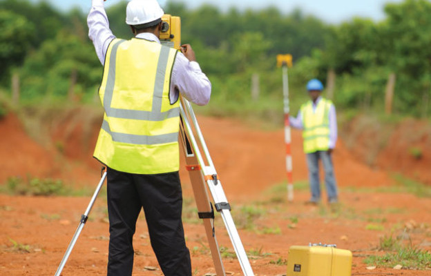
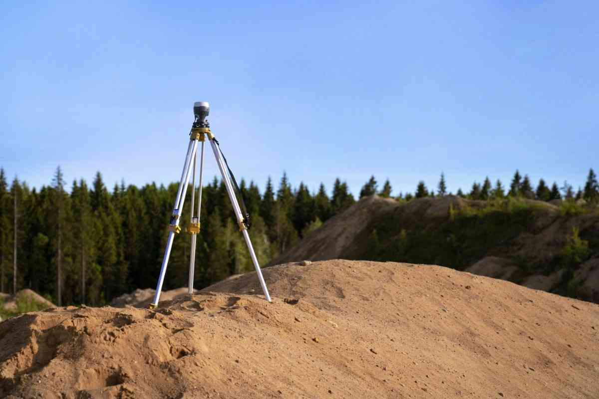
Survey Training
Survey training (Total station, levels, and differential GPS)
Survey training services cover essential skills for using advanced surveying equipment, including total stations, levels, and differential GPS systems. Participants learn to operate these tools effectively, conduct accurate measurements, and interpret data for various applications.
The training includes hands-on exercises and real-world scenarios to ensure practical knowledge and proficiency. By mastering these techniques, trainees are equipped to perform precise land surveys, construction layout, and geospatial analysis. Ultimately, this training enhances their capabilities and prepares them for successful careers in surveying and geospatial fields.
Geotechnical soil testing training
We offer GIS and GPS training services to empower individuals and organizations with the skills to effectively use geographic information systems and global positioning systems. These training programs cover essential topics such as data collection, analysis, mapping, and spatial data management.
Participants learn to utilize advanced software and tools, enhancing their ability to make informed decisions based on geographic data. Hands-on exercises and real-world applications ensure practical knowledge and proficiency. Ultimately, GIS and GPS training services equip users with the expertise needed to leverage these technologies for various projects and applications.
Remote Sensing Training
Our remote sensing training services provide participants with the skills to analyze and interpret data collected from satellite and aerial sensors. Our training covers essential topics such as image processing, spectral analysis, and GIS integration.
Through hands-on exercises and real-world applications, participants learn to utilize remote sensing technologies for environmental monitoring, land use planning, and natural resource management. This training enhances their ability to make informed decisions based on spatial data. Ultimately, remote sensing training services equip users with the expertise needed to leverage these powerful tools in various industries.
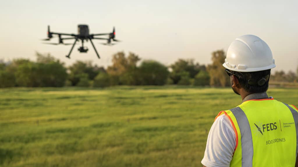
GTEC drone training
GTEC drone training services for fixed-wing and VTOL (Vertical Take-Off and Landing) drones provide comprehensive instruction on operating these advanced aerial systems. Participants learn to pilot both types of drones, understanding their unique capabilities and applications.
Our training covers essential topics such as flight planning, navigation, safety protocols, and data collection techniques. Hands-on exercises and real-world scenarios ensure proficiency in using drones for various tasks, including aerial surveys, inspections, and mapping. Ultimately, these services equip users with the expertise needed to effectively utilize fixed-wing and VTOL drones in diverse industries.