Our survey equipment rental services provide access to cutting-edge tools, including GPS, total stations, RTK systems, levels, sclerometers, and drones, to meet your project requirements. These state-of-the-art instruments ensure accurate and reliable measurements for a wide range of applications, from land surveying to construction and geotechnical assessments.
We offer flexible rental terms and comprehensive support to maximize the effectiveness of our equipment. With our services, you can leverage the latest technology without the need for long-term investment. Partner with us for precise, efficient, and cost-effective surveying solutions.
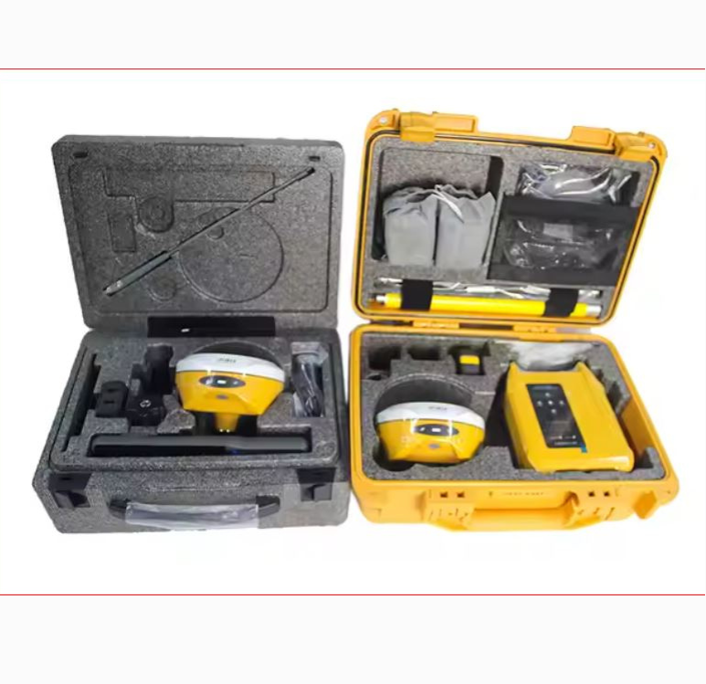
Our RTK GPS rental solutions provide high-precision positioning for surveying, mapping, and construction, with centimeter-level accuracy. Our team offers professional support to ensure seamless integration and optimal use of the technology, helping you achieve precise results and maximize efficiency.
We have made available sclerometer equipment for rental which provides accurate measurements of surface hardness for various materials, ideal for construction, civil engineering, and material testing applications. You can rely on professional support from our team for the execution of your projects.
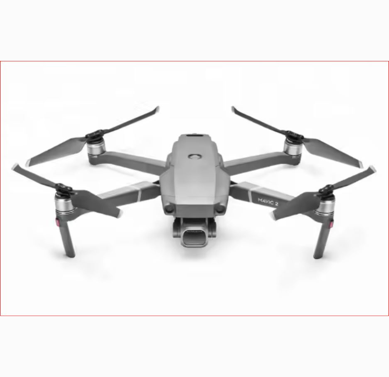
Our drone rental solutions offer aerial data collection and imaging capabilities for various industries, including construction, surveying, environmental and asset monitoring. Professional support from our team is available to guide you through your project so you can capture high-quality data and insights, enabling informed decision-making and efficient project execution.
We are introducing GPS 660 RTK for rental which provides high-precision positioning with centimeter-level accuracy, ideal for surveying, mapping, and construction applications. With professional support from our team, you can achieve precise results and maximize efficiency in your projects.
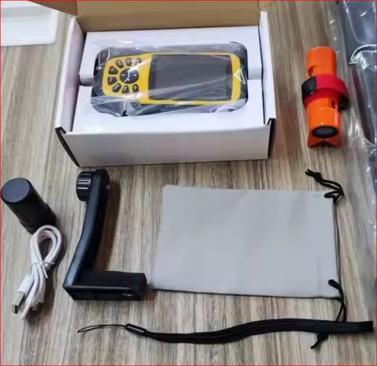
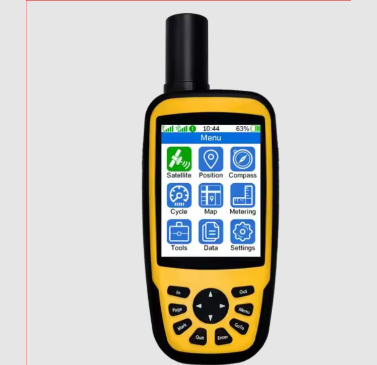
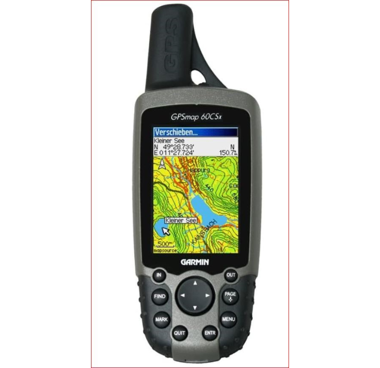
We have a range of GPS equipment for rental that offer reliable positioning and navigation capabilities for various applications, including field data collection, asset tracking, and outdoor activities. Also available is a team of professional to support you throughout your project to ensure accurate data collection and efficient navigation, helping you achieve your goals.
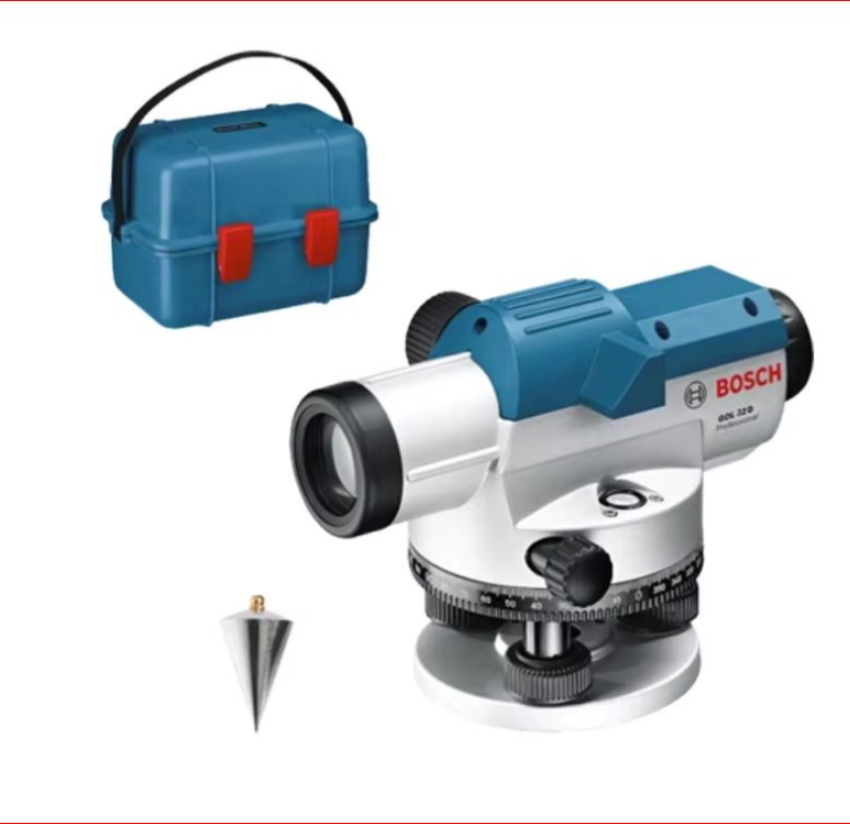
Our digital level rental provides accurate and efficient leveling measurements for construction, surveying, and engineering applications. We equally provide professional support on standby to support throughout your project so you can achieve precise results.
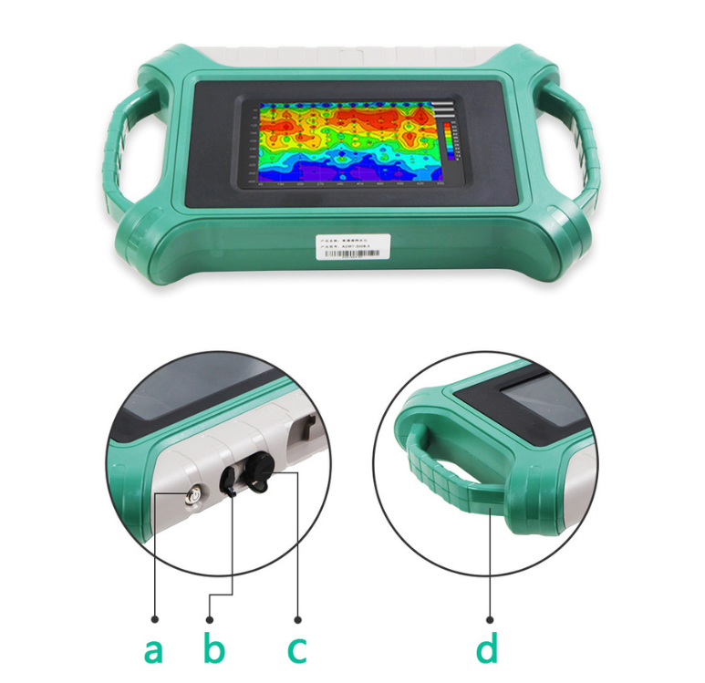
Our ADMT 600S-X water detector rental provides advanced groundwater detection capabilities for water exploration and resource management to a depth of more than 500m. Our professional team is available to support so you can accurately locate subsurface water resources, ensuring informed decision-making and efficient project execution.
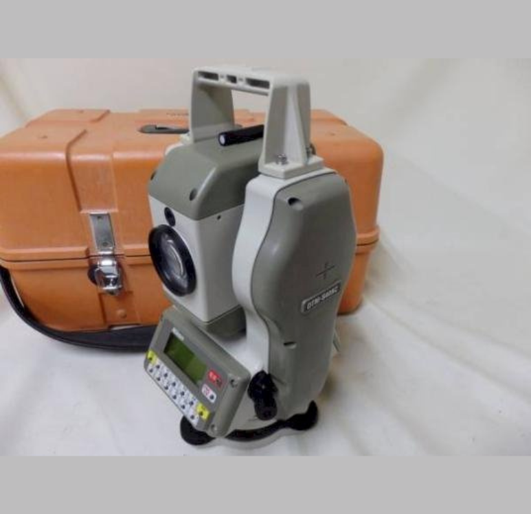
We place at your disposal our total station for rental for precise and efficient measurement capabilities for surveying, construction, and engineering applications. With professional support from our team, you can achieve accurate data collection, layout, and stakeout, ensuring high-quality results and streamlined project execution.
We have a range of GPS equipment for rental that offer reliable positioning and navigation capabilities for various applications, including field data collection, asset tracking, and outdoor activities. Also available is a team of professional to support you throughout your project to ensure accurate data collection and efficient navigation, helping you achieve your goals.