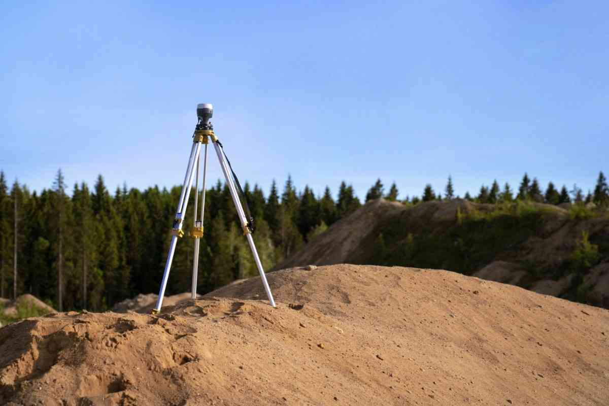
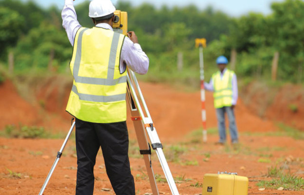
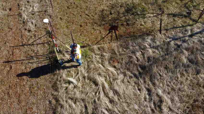
Our survey services involve accurately measuring and mapping land to determine property boundaries and features. These services provide crucial data for land development, construction projects, and legal documentation. We use advanced equipment and techniques, including GPS, levels, drones and total stations, to ensure precise results.
Our surveys support decision-making in real estate transactions, urban planning, and infrastructure development. Ultimately, they help mitigate disputes, enhance project planning, and ensure compliance with regulations and zoning laws.
Layout design and implantation
Our layout design and implantation services focus on creating and implementing detailed site plans for construction projects. These services ensure efficient space utilization, proper alignment, and adherence to project specifications. They provide the foundation for successful project execution, balancing functionality and aesthetics.
Topographic data collection for building and construction
Topographic data collection for building and construction services involves gathering detailed information about the terrain and features of a site. This process uses advanced equipment like GPS, total stations, levels and drones to create precise topographic maps and 3D models with appropriate softwares. These maps provide essential data for site planning, design, and engineering, ensuring acc urate and efficient construction.
Topographic surveys help identify potential challenges, such as slopes, water bodies, and existing structures, aiding in better decision-making. Ultimately, this service supports the successful execution of building and construction projects, promoting safety and efficiency.
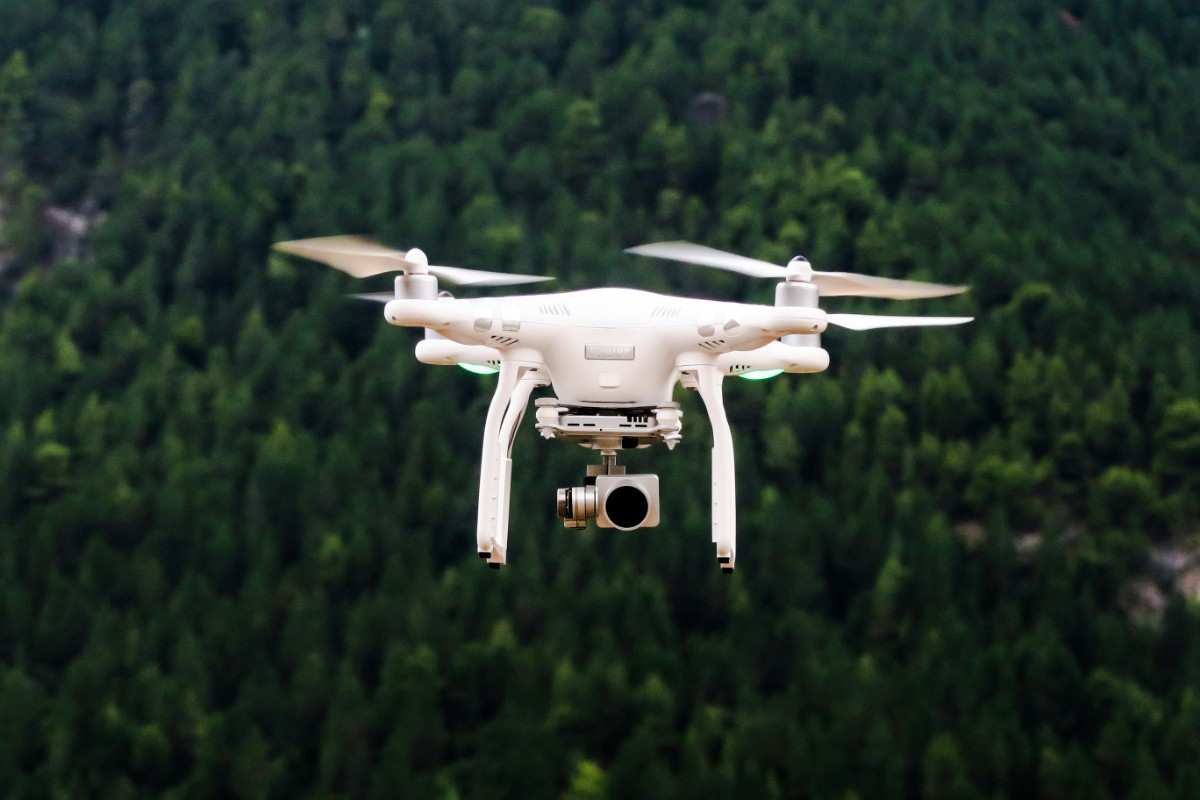
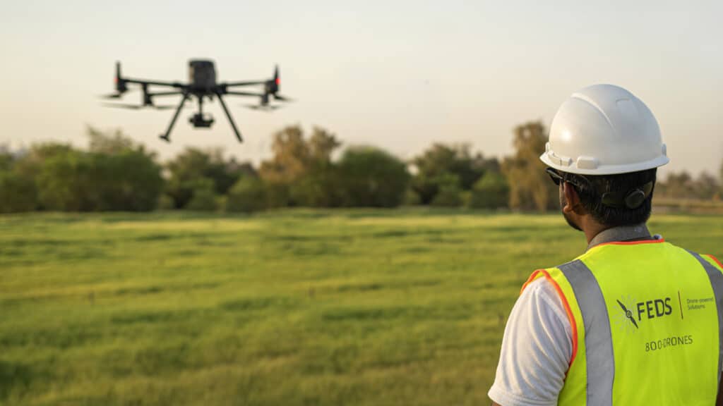
Drone services (Aerial survey, inspection, surveillance and mapping)
Our drone services for aerial survey, inspection, surveillance, and mapping offer unmatched precision and efficiency. Equipped with high-resolution cameras and advanced sensors, drones can capture detailed images and data from above, providing valuable insights for various industries.
These services are ideal for monitoring construction progress, inspecting infrastructure, conducting environmental assessments, and creating accurate maps. Drones can access hard-to-reach areas, reducing risks and costs associated with manual inspections. Overall, our drone services can enhance decision-making, safety, and operational efficiency in your projects.
Land use and land cover mapping
Our land use and land cover mapping services utilize satellite images and or drone mapping to provide detailed and accurate representations of the Earth's surface (project area). These services help monitor and analyze changes in land use, such as urban expansion, deforestation, and agricultural practices. By integrating high-resolution satellite imagery and drone data, our experts can create comprehensive maps that support environmental management, urban planning, and resource conservation.
We can combine these technologies to allow for real-time monitoring and precise assessments, aiding in informed decision-making. Ultimately, these services will enhance our clients understanding of land use dynamics and contribute to sustainable development.
Hydrographic survey (bathymetry)
Our hydrographic survey (bathymetry) services involve measuring and mapping the depths and shapes of underwater terrain. Using sonar equipment and GPS, these surveys provide accurate data on water bodies' topography, crucial for navigation, construction, and environmental monitoring. Bathymetric maps aid in designing underwater structures, assessing flood risks, and managing marine resources.
This service supports various applications, including harbour maintenance, dredging operations, and habitat conservation. Ultimately, hydrographic surveys ensure safe and efficient use of aquatic environments.
Geophysical Survey
Our geophysical survey services mainly include PQWT 300 survey especially for ground water detection, mapping and analysis. PQWT 300 employs the natural electric field frequency selection method to identify geological structures, water sources, and mineral deposits.
Other geophysical methods, such as seismic, magnetic, and electromagnetic surveys, which provide comprehensive data on subsurface conditions will be included progressively. These techniques are crucial for groundwater exploration, mineral prospecting, and environmental assessments. Together, they offer valuable insights for informed decision-making and resource management in various industries.