Cartography and mapping, GPS mapping, GIS data analysis and visualization, Remote sensing mapping and analysis, Agriculture and facility monitoring,Web-based Geographic Information Systems (WebGIS) etc
Architectural design, Geotechnical soil test/survey (Heavy duty Standard penetrometer test), Sclerometer test service, Groundwater detection and quality testing, Building and construction supervision and management, etc
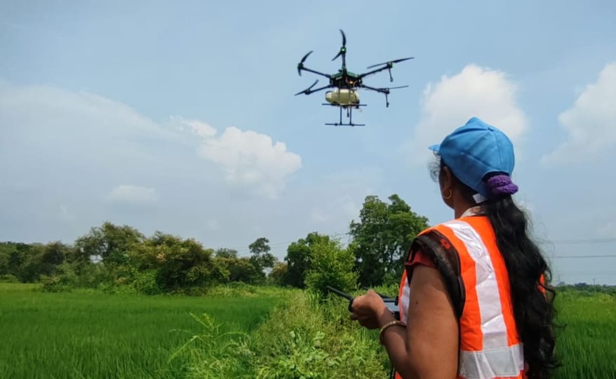
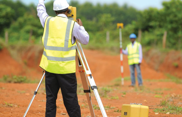
Land Survey, layout design and implantation, Topographic data collection for building and construction, drone services, land use and land cover mapping , hydrographic survey (bathymetry), geophysical survey services etc
Design of data collection through survey tools (questionnaires and online forms), Creation of database, data analysis, and visualization, creating interactive visualizations with Excel and Power BI to empower organizations
GIS and GPS training, Survey training (Total station, levels, and differential GPS), Geotechnical soil testing training, remote sensing training, GEOSPATIALTECC drone training services. Our training covers essential topics for each course.
Our survey equipment rental services provide access to cutting-edge tools, including GPS, total stations, RTK systems, levels, sclerometers, and drones, to meet your project requirements. These instruments ensure accurate and reliable measurements
We bring years of industry experience and expertise to every project. Our highly qualified team brings a wealth of knowledge to every project, ensuring that you receive the best advice and solutions tailored to your needs.
We are commited to Excellence
Excellence is at the core of everything we do. We are dedicated to delivering tangible results that positively impact our clients. Our commitment to quality ensures that your projects and training are executed to the highest standards, giving you peace of mind.
Exceptional Customer Service
Client satisfaction is our aim. We pride ourselves on providing timely and exceptional customer service. Our team is always available to support you, ensuring that your experience with us is smooth and satisfactory from start to finish.
Working Process
Inception to Execution
01
Consultation and Needs Assessment
We begin with a comprehensive consultation to understand your specific needs and project goals.
02
Tailored Solution Development
Based on the insights gathered during the consultation, we develop a customized solution tailored to your needs.
03
Implementation and Support
Once the solution is finalized, we proceed with the implementation phase.
TESTIMONIALS
Recent Client Feedback
"Working with this team has been a game-changer for our community project. Their expertise in geotechnical engineering helped us navigate complex challenges with ease. Highly recommended!"
Abdur Rashid
Community Project Coordinator
"The support and guidance we received throughout our project were exceptional. Their tailored solutions were exactly what we needed to push our initiative forward. Thank you for being such a reliable partner!"
Alen Walker
Manager
"Their professionalism and attention to detail are unmatched. They took the time to understand our specific needs and delivered outstanding results. I wouldn’t hesitate to recommend their services!"
Brish Jhonson
Project Manager
"This company truly understands the needs of the community. Their expertise in blending geospatial technologies with engineering solutions has made a significant impact on our projects. We are grateful for their partnership!"